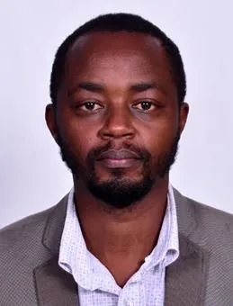
PhD in Geomatics and Geospatial Information Science, Dedan Kimathi University of Technology, ongoing
Masters Geo-Information science and Earth Observation, University of Twente, Netherlands, 2012
Bsc. Geospatial Engineering, University of Nairobi, 2009
Employment History
Tutorial Fellow, KU, Department of Spatial Planning, May 2020 - to date
Tutorial Fellow, Dedan Kimathi University, Institute of Geomatics, GIS and Remote Sensing (IGGReS), Aug 2017 – April 2020
Assistant Lecturer, University of Rwanda, Department of Surveying and Geomatics, Aug
2017 – April 2020
Surveyor/GIS Analyst, Geodev (K) Ltd, 2009 - 2010
Publications
Waititu, J. M., Mundia, C. N., & Sichangi, A. W. (2020 – Under Review). Assessing distribution changes of selected native and alien invasive plant species under changing climatic conditions in Nyeri County, Kenya. BioRxiv
Waititu, J.M., Mundia, C.N., and Sichangi, A. W., (2019, November). Assessing alien invasive plants species spatial distribution under changing climatic conditions. Paper presented at 5th DeKUT International Conference on Science, Technology, Innovation and Entrepreneurship from 13th – 15th November 2019, DeKUT, Nyeri
Waititu, J. M., & Irankunda, M., (2015, November). Towards smart planning and management of electricity distribution to customers in Rwanda. Poster session presented at the International Conference on Geospatial Technologies for Sustainable Urban and Rural Development, University of Rwanda, Kigali, Rwanda
Funded Projects
IFS grant D-6489-1. RESEARCH GRANT AGREEMENT NO. I-1-D-6489-1. Date: 2020- 06-30. Project name: Development of a mapping framework for Lantana Camara L. invasive plant species Conferenced/Workshops/Seminars Attended
Conferences Attended
5th DeKUT International Conference on Science, Technology, Innovation and Entrepreneurship from 13th – 15th November 2019, DeKUT, Nyeri
International Conference on Geospatial Technologies for sustainable Urban and Rural Development from 18th – 20th November 2015, Kigali, Rwanda
Workshops Attended
1st Surveyors Preparatory Workshop On Mutual Recognition Agreement (MRA) In The East African Community Held on 17th – 18th February 2015, At Hilton Hotel, Nairobi Kenya
Affiliation of Professional Bodies
Member, institution of Surveyors of Kenya
Administrative Positions Held Recognized university administrative positions
Final Year Projects Coordinator for BSc in Geomatics and Geospatial Information Systems Program, Dedan Kimathi University of Technology
Surveying and Geomatics Engineering & Building and Construction Technology Programmes coordinator at Nyagatare Campus, University of Rwanda